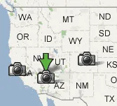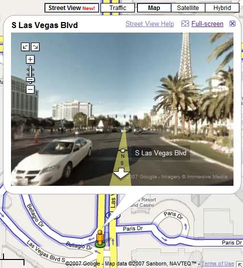
Google released the preview of its 3D mapping service named “Street View”. You can see this view as a new layer in addition to Satellite and Traffic in Google Maps. Street View shows you eye level photos of the current location. It is currently only offered for major metropolitan cities of San Francisco, Las Vegas, Denver, New York, and Miami.

Here is a Video Tutorial
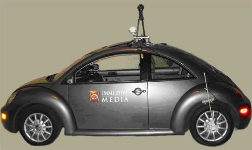
The photos are taken from the top of a VW Bug with a circular camera mounted on top from using technology from Immerse Media, which makes possible services such as 3D Videos and Video Maps with lot of features.

It will be exciting to see mashups using street view. For example fatdoor would rock if it used street views. Microsoft also has a comparable preview of street mapping out which is available for San Francisco and Seattle, and the A9 maps service which was probably the first attempt at street level photo mapping is no longer available.